
Orange light spreads across the water while the distant domes remain in shadow. Buildings crowd both banks, with boats parked outside their doors. Today's Bing wallpaper takes us to the Grand Canal in Venice, Italy, where understanding the morning traffic begins with looking at the water.
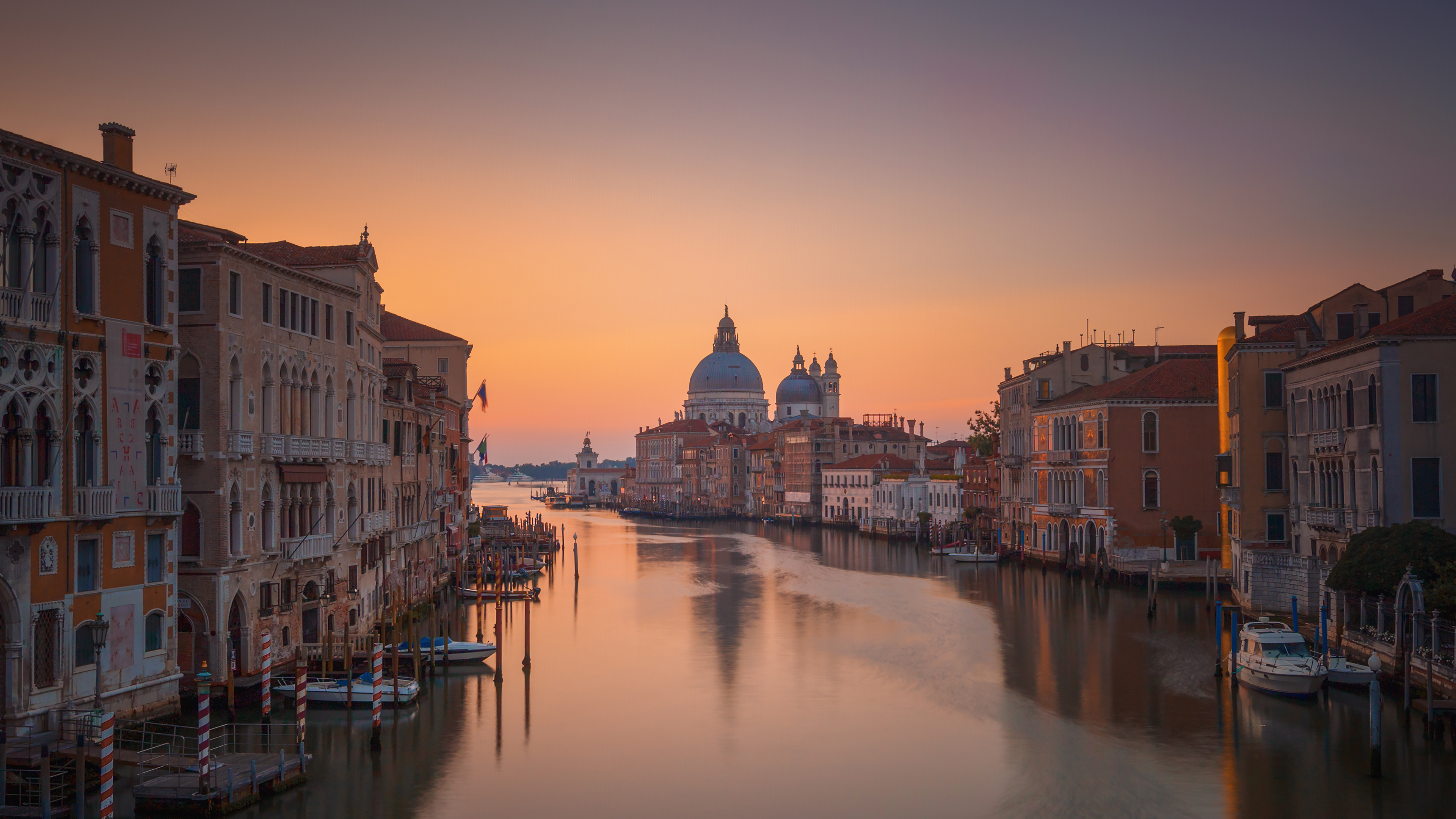
Image: Bing daily wallpaper. Grand Canal, Venice, Italy (© Juan Romero/Cavan Images). Original page.
A city shaped by the spaces between islands
On a map, Venice resembles a puzzle cut apart by fine lines. The pieces are islands; the lines are canals. To read this landscape, set aside the familiar street map for a moment. Water does much of the work that roads do elsewhere.
UNESCO's description of Venice and its lagoon explains that as small islands became an interconnected urban system, traces of the original landscape survived as the Grand Canal, the Giudecca Canal and the network of smaller waterways. The word "canal" can mislead us here. We should not imagine every waterway as a trench dug through previously continuous dry land. The city grew within a landscape of interwoven water and ground.
The large dome in the distance belongs to Santa Maria della Salute, near the Grand Canal's outlet in Dorsoduro. Venice's official city guide identifies the church as a Baroque masterpiece by Baldassare Longhena. In this view, it helps mark the waterway's distant turn.
What the waterfront buildings tell us
The facades along the canal carry a history of commerce, homes and art collections.
Consider the Fondaco dei Turchi, a building type combining a residence with storage space. The Venetian word fontego means warehouse. Space for people and goods suited a city connected to the outside world by water. Today the building houses Venice's Natural History Museum. Following the canal reveals buildings that have changed jobs, sometimes several times, across the centuries.
The Rialto Bridge offers another way to read the city. It connects the market area with streets leading toward St. Mark's Square, carrying shops as well as a covered central passage. The official account dates Antonio da Ponte's present stone bridge to 1588-1592; until the 19th century, Rialto remained the only bridge crossing of the Grand Canal. Boats moved along the waterway while the bridge joined the walking routes on either side.
The timber underneath needs care, too
Another layer of history lies beneath the buildings. Many historic structures in Venice stand on closely spaced, short timber piles that improve the bearing capacity of soft ground. Engineering research from the University of Padua describes piles driven into soft silty clay. They do not all have to pass through the mud to reach a single hard layer beneath it.
Remaining waterlogged in an environment with little oxygen can protect wood from rapid decay by many fungi. Some bacteria can still attack it, however. A study of foundation timber sampled in five Venetian districts found varying degrees of decay in most samples. A long-lived city still has aging foundations. Engineers need to understand and maintain the way timber, soil and buildings carry their loads together.
Even a quiet surface has tides
The morning water looks calm, but Venice also lives with changing water levels. The municipal tide center describes the observed level as the sum of an astronomical component, associated chiefly with the Moon and Sun, and a meteorological contribution from wind and atmospheric pressure.
The Adriatic is long and narrow, with a closed northern end. A southeasterly wind blowing along it can push water northward; low atmospheric pressure can raise the surface, too. The city's explanation of weather-driven surges notes that wind alone can produce enough additional water to cause flooding. Coinciding with an astronomical high tide can lift the level further. One rise in the water cannot always be attributed to the Moon, and one tranquil photograph cannot tell you the day's conditions. Before heading out, consult the city's tide forecasts and observations.
Find the bus stops on the water
Venice's vaporetto is a waterbus. To follow the Grand Canal, start with ACTV's official water transport timetable, checking Route 1 and any service changes for your travel day. Then locate Rialto, Accademia and Salute on a map. The stops, landing places and walking routes connecting them make everyday journeys possible.
You can also explore without leaving home. Find the boats, moorings and waterside entrances in the photograph. If you had to deliver a box of food to one of these buildings, how would you handle the final stretch? That question begins turning a beautiful reflection into a working map of a city.