
From above, southern Utah looks like an empty expanse of red wilderness. Yet its canyons, mesas, and rock walls hold abundant traces of a long, continuous human presence.
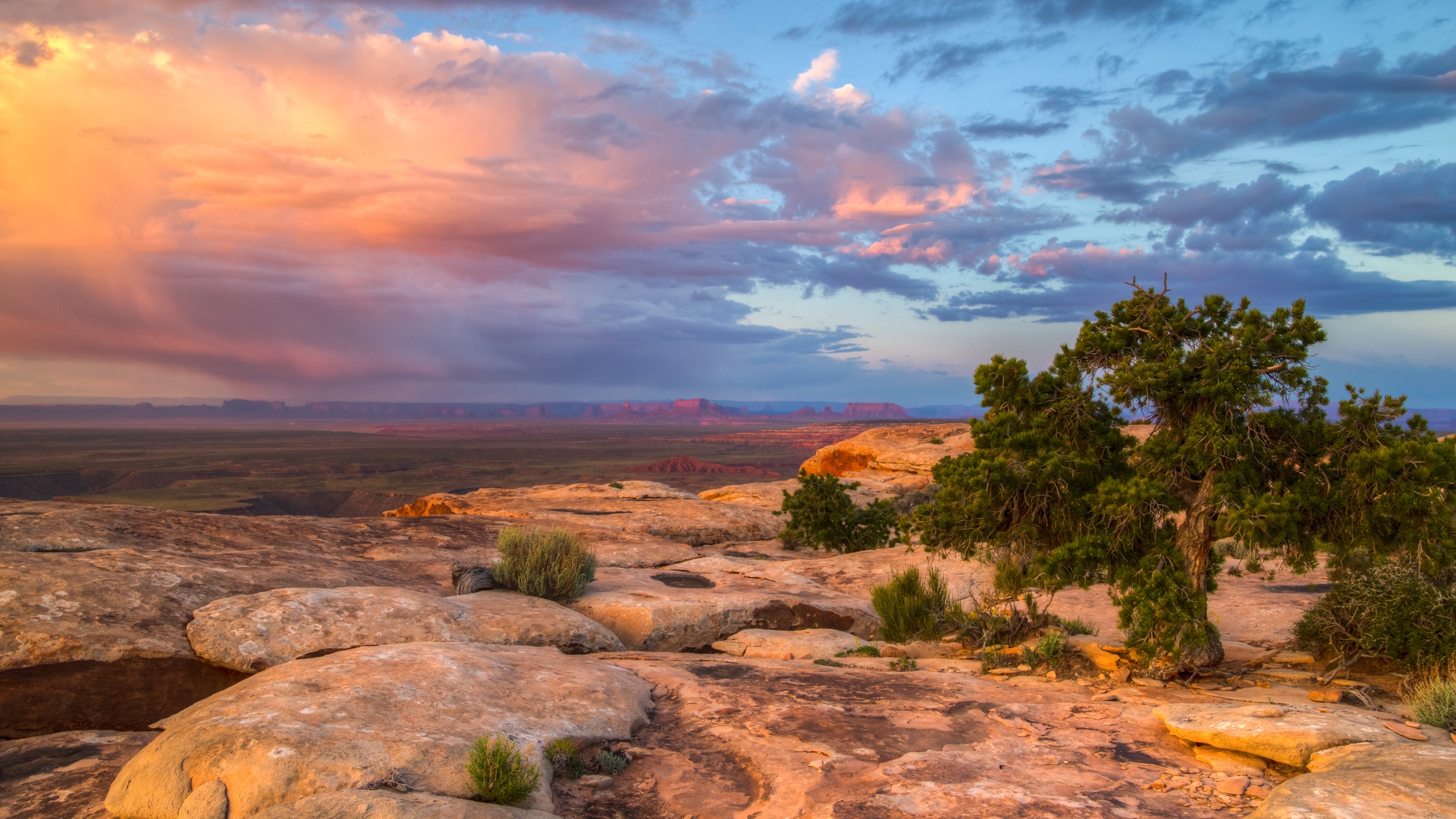
Image: Bing Daily Wallpaper | Cedar Mesa and Muley Point near Bears Ears National Monument, Utah, United States | Photography: Jeff Clay/Tandem Stills + Motion | Original page
This photograph shows the area around Cedar Mesa and Muley Point. Sandstone mesas recede in layers, canyons divide the plateau into broken islands, and hardly a straight line betrays the presence of a modern city.
The U.S. Bureau of Land Management describes Cedar Mesa as one of America's most significant cultural landscapes, rather than simply calling it wilderness. Rock art, cliff dwellings, surface structures, and countless artifacts are scattered across it. For the Hopi, Navajo, Ute, Zuni, and other Indigenous peoples, it is also a sacred ancestral homeland.
A Landscape Full of Human Traces
Cedar Mesa is an important part of the southern portion of Bears Ears National Monument. Its dry climate and sandstone terrain have helped preserve many remnants of the past: stone houses tucked into cliff alcoves, potsherds and stone tools still scattered on the ground, and images carved or painted on rock walls.
These traces are not isolated "attractions." Routes, water sources, farming sites, settlements, and ceremonial spaces form a connected landscape. A count of archaeological sites alone cannot explain its relationship with the Indigenous communities who still live nearby.
That is why protection at Bears Ears extends beyond a handful of recognizable buildings. The mesas, canyons, peaks, and routes between them are themselves part of the cultural record.
The Geology That Preserves History Also Leaves It Vulnerable
Water and wind have carved deep canyons into the sandstone of the Colorado Plateau. Alcoves provide natural shelter for buildings, while the dry conditions slow the decay of wood, fibers, and other organic materials.
This environment is also easily damaged. A vehicle rut off a designated route, a patch of trampled ground, or a single potsherd carried away can disrupt a site's context. When an artifact is removed from its original position, archaeologists lose more than an object: they lose its relationships with buildings, layers of soil, and other remains.
The Bureau of Land Management therefore requires visitors to stay on designated routes and uses a permit system for hiking and camping in Cedar Mesa's canyons. These rules help keep a fragile record intact, in the place where it can still be understood.
Why "Empty" Can Be Misleading
The absence of people in a photograph does not mean nobody ever lived there. In fact, the scarcity of modern buildings can make it easier to mistake traces of ancient lives for features of the natural landscape.
From a distance, Muley Point is a series of layered rock terraces. Up close, the whole landscape becomes an archive written in rock, soil, and routes across the land. Bears Ears National Monument gives "uninhabited country" a different meaning: many places that appear blank simply record their history in a language other than that of a modern city.
Sources
U.S. Bureau of Land Management: Cedar Mesa Trip Planner; U.S. Bureau of Land Management: Bears Ears National Monument; U.S. Bureau of Land Management: Cedar Mesa Permit System.