
Hong Kong's towers rise along Victoria Harbour, where steep hills, water, and a dense skyline share one view. Bing's November 13, 2026 image turns a familiar city into a lesson in three-dimensional planning.
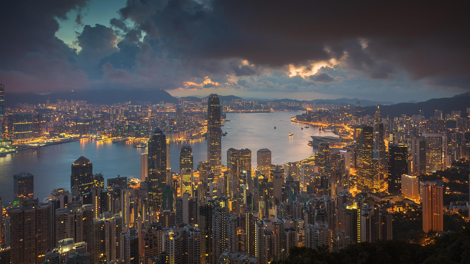
Image: Juan Romero/Cavan Images · Original page
Hong Kong has many hills and relatively little flat land for continuous development. Victoria Harbour is also a working waterway for shipping and ferries. Homes, offices, transport, and public facilities therefore stack upward. The layers of buildings are a visible record of a city folding limited ground into vertical space.
From a high viewpoint, look for three kinds of lines: the shoreline's natural curve, the straight lines of roads and towers, and the moving paths of boats. Together they record geology, planning, and everyday motion.